When Is the Best Time Of Day To Fly Agricultural Drones For Accurate Thermal Imaging
Mastering thermal data collection requires an understanding of how surfaces interact with solar radiation. Many operators mistakenly assume any flight during daylight provides usable thermal information, yet the science dictates a much narrower window for accuracy.
Efficiency in precision agriculture depends entirely on atmospheric stability and thermal contrast. When you align your operations with the daily heating and cooling patterns of soil and vegetation, you capture meaningful diagnostics rather than mere noise. Achieving repeatable, high-resolution insights necessitates strict adherence to specific environmental conditions.
When Is the Optimal Time for Thermal Data Acquisition?
The most effective window for thermal mapping is typically early morning, just before sunrise or shortly after. During these hours, the ground and plant surfaces have reached a state of thermal equilibrium, where the influence of direct solar radiation is minimized.
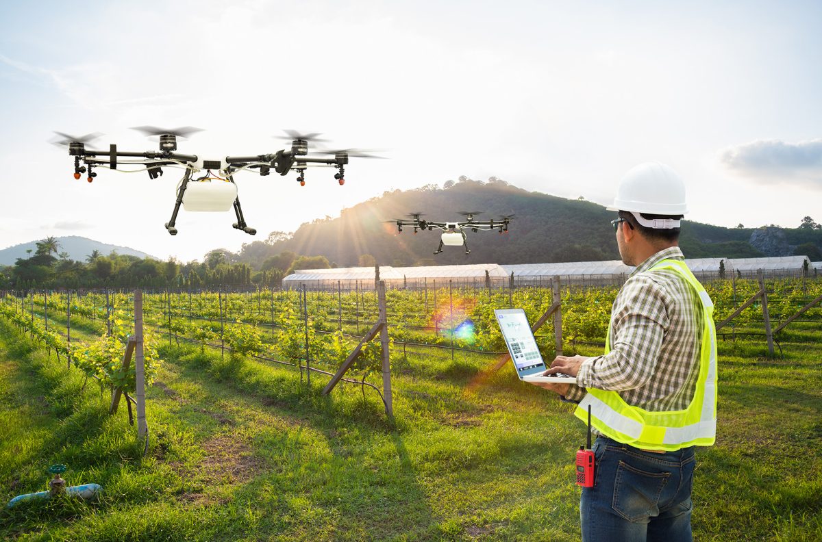
This pre-dawn period ensures that your sensors detect the true emissivity of the plants rather than reflected solar heat. By using advanced equipment delivered by drone companies like Talos Drones, you gain the ability to isolate subtle temperature variances that reveal plant stress or irrigation malfunctions. Ultimately, this precise data collection empowers you to make proactive management decisions that optimize crop health and maximize yields.
Why Do Midday Flights Often Compromise Thermal Integrity?
A common myth among drone operators is that maximum sunlight results in the best thermal imagery. In reality, the high solar load during the middle of the day generates massive amounts of reflected infrared radiation, which saturates your sensors.
When the sun is at its peak, the temperature difference between a healthy plant and the surrounding soil becomes masked by the intense heat absorption of the entire field. This thermal saturation makes it nearly impossible to distinguish between genuine plant transpiration issues and simple surface heating.
What Factors Dictate the Success of Your Flight?
Success relies on more than just looking at the clock; it requires a thorough analysis of the thermodynamics of your specific environment. Several variables can dictate whether your data remains actionable or becomes effectively useless for crop management.
Thermal Inertia Influence
Thermal inertia describes the resistance of a material to temperature changes. Soil with higher moisture content changes temperature more slowly than dry soil. By flying during the cooling phase, you can map moisture levels based on these distinct cooling rates.
Atmospheric Conditions
Humidity and ambient air temperature directly affect the accuracy of microbolometers. You must ensure that the air temperature is stable throughout the flight. Significant shifts in wind speed or humidity can cause sensor drift, rendering your thermal mosaic inaccurate or impossible to stitch.
Ground Truths
Calibration is the difference between a pretty picture and a scientific dataset. Placing reference panels at known temperatures allows you to account for atmospheric interference. These panels serve as the standard by which all other pixels in your thermal map are validated.
Where do Site Conditions Change Your Operational Window?
The environment itself dictates the timing of your missions. In dense canopy crops like orchards, the tree structure creates significant shade, which requires a longer cooling time after the sun sets to reach thermal stability.
Conversely, open field crops with minimal ground cover might reach equilibrium faster. Always consider the vegetation biomass when planning. High-density plots hold heat longer, necessitating a later flight time to ensure the thermal signatures of the plants are distinct from the underlying soil.
How Does Sensor Calibration Mitigate Environmental Variability?
Without radiometric calibration, a thermal image provides only relative temperature differences, which are insufficient for longitudinal crop studies. High-end sensors require a stabilization period after startup, often lasting up to an hour before they achieve accurate readings.
Professional-grade thermal cameras should be protected with a thermal casing to mitigate the impact of ambient air fluctuations on the sensor body itself. Incorporating these hardware protections ensures the camera maintains consistency throughout the mission, preventing noisy data output. This process is essential for achieving precise radiometric accuracy, ensuring that the data collected remains comparable across different times and environmental conditions.
Where Does Strategic Planning Improve Outcomes?
Strategic planning in agriculture goes beyond scheduling; it demands awareness of how energy use accumulates across the entire food supply chain. Decisions made at the farm level carry disproportionate weight.
When and how inputs are applied, how machinery is deployed, and how resources are managed all shape the system’s broader climate impact. According to the USDA, the U.S. food system consumed 11.9 quadrillion Btu in 2012, representing 12.5% of total national energy use, making farm-level efficiency planning a direct lever on national energy outcomes.
Commonly Asked Questions
Why is thermal mapping at noon discouraged?
Midday sunlight causes excessive solar reflection and heat saturation, which mask subtle temperature differences in plant tissues, leading to inaccurate data that fails to show genuine vegetation health or stress.
How long does a sensor need to stabilize?
Thermal sensors generally require a warm-up period of 20 minutes to one hour to stabilize the focal plane array, ensuring that temperature readings are precise and free from sensor-related noise.
Does cloud cover improve thermal imaging?
Yes, consistent cloud cover provides a uniform lighting environment, reducing the impact of direct solar radiation and creating a more stable thermal background, which enhances the clarity of the captured heat signatures.